
ચિત્ર:Assam locator map.svg

Size of this PNG preview of this SVG file: ૭૩૪ × ૬૦૦ પિક્સેલ. અન્ય આવર્તનો: ૨૯૪ × ૨૪૦ પિક્સેલ | ૫૮૭ × ૪૮૦ પિક્સેલ | ૯૪૦ × ૭૬૮ પિક્સેલ | ૧,૨૫૩ × ૧,૦૨૪ પિક્સેલ | ૨,૫૦૬ × ૨,૦૪૮ પિક્સેલ | ૨,૩૯૩ × ૧,૯૫૬ પિક્સેલ.
મૂળભુત ફાઇલ (SVG ફાઇલ, માત્ર ૨,૩૯૩ × ૧,૯૫૬ પીક્સલ, ફાઇલનું કદ: ૨૬૪ KB)
| શીર્ષક |
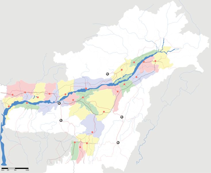
Assam locator Map |
||
| Description |
Map of w:Assam with road and rail lines. Coordinates: top=29.49, bottom=23.74, left=89.61, right=97.52. অসমীয়া: ৰেলপথ, যাত্ৰাপথ সমন্বিতে অসমৰ মানচিত্ৰ, স্থানাংক: ওপৰ=২৯.৪৯, তল=২৩.৭৪, বাও=৮৯.৬১, সো=৯৭.৫২। |
||
| તારીખ | |||
| સ્રોત |
પોતાની રચના |
||
| રચયિતા |
|
||
| પરવાનગી (આ ફાઈલનો ફરી ઉપયોગ) |
હું, આ કાર્યનો પ્રકાશનાધિકાર ધારક, તેને નીચેના પરવાના હેઠળ અહીં પ્રકાશીત કરૂં છું: આ ફાઈલ વપરાશની પરવાનગી : Creative Commons Attribution-Share Alike 3.0 Unported license.
|
||
| Geotemporal data | |||
| Date depicted | second half of 20 century અને 21 century | ||
| Georeferencing | If inappropriate please set warp_status = skip to hide. | ||
| Archival data | |||
| નોંધ | Part of WikiProject India Maps | ||
ફાઇલનો ઇતિહાસ
તારીખ/સમય ઉપર ક્લિક કરવાથી તે સમયે ફાઇલ કેવી હતી તે જોવા મળશે.
| તારીખ/સમય | લઘુચિત્ર | પરિમાણો | સભ્ય | ટિપ્પણી | |
|---|---|---|---|---|---|
| વર્તમાન | ૦૦:૨૩, ૧૭ એપ્રિલ ૨૦૦૭ | | ૨,૩૯૩ × ૧,૯૫૬ (૨૬૪ KB) | Planemad | |
| ૦૦:૦૬, ૧૬ એપ્રિલ ૨૦૦૭ |  | ૨,૩૯૩ × ૧,૯૫૬ (૨૧૫ KB) | Planemad | ||
| ૨૨:૫૦, ૧૩ એપ્રિલ ૨૦૦૭ |  | ૨,૩૯૩ × ૧,૯૫૬ (૨૦૬ KB) | Planemad | colored | |
| ૨૨:૨૬, ૧૩ એપ્રિલ ૨૦૦૭ |  | ૨,૩૯૩ × ૧,૯૫૬ (૨૧૬ KB) | Planemad | crop fix | |
| ૨૨:૨૫, ૧૩ એપ્રિલ ૨૦૦૭ |  | ૧,૫૯૧ × ૧,૯૭૫ (૨૧૬ KB) | Planemad | {{WikiProject_India_Maps |Title=Assam locator Map |Description=Map of w:Assam with road and rail lines |Source= [http://www.iitg.ernet.in/rcilts/assam_political.jpg IIT Guwahati - Assam Political map] |Date=April 2007 |Author=w:user:Planemad }} [ |
ફાઇલનો વપરાશ
આ ફાઇલ માં નીચેનું પાનું વપરાયેલું છે:
ફાઇલનો વ્યાપક ઉપયોગ
નીચેની બીજી વિકિઓ આ ફાઈલ વાપરે છે:
- ar.wikipedia.org પર વપરાશ
- as.wikipedia.org પર વપરાશ
- তেজপুৰ
- শিৱসাগৰ
- বৰপেটা
- যোৰহাট
- উত্তৰ লখিমপুৰ
- কামাখ্যা মন্দিৰ
- সদস্য:Anshuman.jrt/নলবাৰী
- সদস্য:Anshuman.jrt/শিলচৰ
- মাধৱ থান
- শিৱসাগৰৰ শিৱদৌল
- আউনীআটী সত্ৰ
- গহপুৰ
- শ্ৰী শ্ৰী বটদ্ৰৱা থান
- ঢেকীয়াখোৱা বৰনামঘৰ
- সাঁচ:Location map India Assam
- মহাভৈৰৱ মন্দিৰ
- সদস্য:Psneog/infobox mandir
- সদস্য:Vssun/test
- বিশ্বনাথ চাৰিআলি
- তিনিচুকীয়া
- নগাঁও
- বঙাইগাঁও
- ঢকুৱাখনা
- নাৰায়ণপুৰ
- ৰঙিয়া
- পাঠশালা
- নেঘেৰিটিং শিৱদৌল
- বদলা পদ্ম আতা সত্ৰ
- মাঘনোৱা দ’ল
- কাজিৰঙা ৰাষ্ট্ৰীয় উদ্যান
- বৰদৈবাম বিলমুখ পক্ষী উদ্যান
- বিহপুৰীয়া (নগৰ)
- কোকৰাঝাৰ
- কৰিমগঞ্জ
- হাৰিভাংগা
- সোণাৰি
- দ'দান থান
- কমাৰকুছি থান
- কৈহাটী
- মাণিকপুৰ
- পবিতৰা অভয়াৰণ্য
- মঙলদৈ
- মানস ৰাষ্ট্ৰীয় উদ্যান
- নামৰূপ
- জাতিংগা
- গুপ্তেশ্বৰ দেৱালয়
- শ্ৰী শ্ৰী আঠখেলীয়া নামঘৰ
- হোলোঙাপাৰ গিবন অভয়াৰণ্য
- গৰমপানী অভয়াৰণ্য
આ ફાઇલના વધુ વૈશ્વિક વપરાશ જુઓ.