
ચિત્ર:Ahmedabad 1855.jpg

આ પૂર્વાવલોકનનું કદ: ૮૦૦ × ૫૪૫ પિક્સેલ. અન્ય આવર્તનો: ૩૨૦ × ૨૧૮ પિક્સેલ | ૬૪૦ × ૪૩૬ પિક્સેલ | ૧,૦૨૪ × ૬૯૮ પિક્સેલ | ૧,૨૮૦ × ૮૭૩ પિક્સેલ | ૨,૩૨૫ × ૧,૫૮૫ પિક્સેલ.
મૂળભુત ફાઇલ (૨,૩૨૫ × ૧,૫૮૫ પીક્સલ, ફાઇલનું કદ: ૯૧૭ KB, MIME પ્રકાર: image/jpeg)
સારાંશ:
| Description |
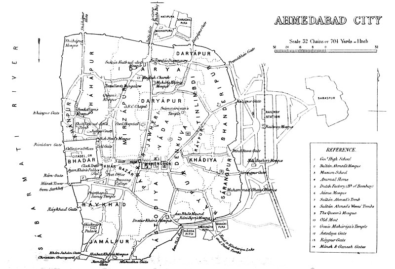
Deutsch: Alte Karte der Stadtumwallung von Ahmedabad, einschließlich Lage der Stadttore. Der Bahnhof befindet sich außerhalb des Festungsgeländes.
English: Map of Ahmedabad |
|||||||||
| તારીખ | ||||||||||
| સ્રોત | Gazetteer of the Bombay Presidency. (1896) by James M. Campbell | |||||||||
| રચયિતા |
Various |
|||||||||
| Geotemporal data | ||||||||||
| Bounding box |
|
|||||||||
| Georeferencing | ||||||||||
પરવાના
|
This work is in the public domain in its country of origin and other countries and areas where the copyright term is the author's life plus 70 years or fewer. This work is in the public domain in the United States because it was published (or registered with the U.S. Copyright Office) before January 1, 1929. | |
| પ્રકાશન કાયદા હેઠળ અને તેને મળતા આવતાં આ ફાઈલ ને મુક્ત ગણાઈ છે | |
ફાઇલનો ઇતિહાસ
તારીખ/સમય ઉપર ક્લિક કરવાથી તે સમયે ફાઇલ કેવી હતી તે જોવા મળશે.
| તારીખ/સમય | લઘુચિત્ર | પરિમાણો | સભ્ય | ટિપ્પણી | |
|---|---|---|---|---|---|
| વર્તમાન | ૨૦:૪૮, ૫ નવેમ્બર ૨૦૧૪ | | ૨,૩૨૫ × ૧,૫૮૫ (૯૧૭ KB) | Shyamal | User created page with UploadWizard |
ફાઇલનો વપરાશ
આ ફાઇલ માં નીચેનું પાનું વપરાયેલું છે:
ફાઇલનો વ્યાપક ઉપયોગ
નીચેની બીજી વિકિઓ આ ફાઈલ વાપરે છે:
- en.wikipedia.org પર વપરાશ
- fa.wikipedia.org પર વપરાશ
- kn.wikipedia.org પર વપરાશ
- mr.wikipedia.org પર વપરાશ
- ur.wikipedia.org પર વપરાશ
- vi.wikipedia.org પર વપરાશ
- zh.wikipedia.org પર વપરાશ