
ચિત્ર:India Kerala relief map.png
આ પૂર્વાવલોકનનું કદ: ૪૧૨ × ૬૦૦ પિક્સેલ. અન્ય આવર્તનો: ૧૬૫ × ૨૪૦ પિક્સેલ | ૩૩૦ × ૪૮૦ પિક્સેલ | ૮૨૮ × ૧,૨૦૫ પિક્સેલ.
મૂળભુત ફાઇલ (૮૨૮ × ૧,૨૦૫ પીક્સલ, ફાઇલનું કદ: ૯૩૩ KB, MIME પ્રકાર: image/png)
સારાંશ:
| Description |
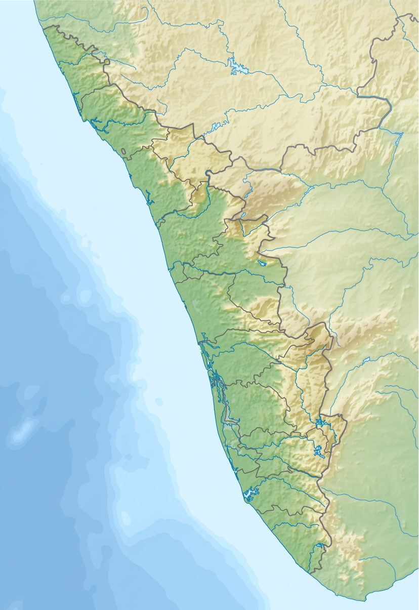
English: Relief map of Kerala, India. |
|||||||||
| તારીખ | ||||||||||
| સ્રોત |
|
|||||||||
| રચયિતા | ||||||||||
| Geotemporal data | ||||||||||
| Bounding box |
|
|||||||||
| Georeferencing | If inappropriate please set warp_status = skip to hide. | |||||||||
| અન્ય આવૃત્તિઓ |
|
|||||||||

પરવાના
હું, આ કાર્યનો પ્રકાશનાધિકાર ધારક, તેને નીચેના પરવાના હેઠળ અહીં પ્રકાશીત કરૂં છું:
This file is licensed under the Creative Commons Attribution-Share Alike 4.0 International license.
- તમે મુક્ત છો:
- વહેંચવા – નકલ કરવા, વિતરણ કરવા અને રચનાઓ મોકલવા
- રીમિક્સ કરવા કે મઠારવા – રચના અપનાવવા
- નીચેની શરત હેઠળ:
- આરોપણ – તમારે આ રચનાનો ઉપયોગ કરવા માટે લેખક કે પ્રકાશન અધિકાર ધારકની યોગ્ય માહિતી, પરવાનગી (લાયસન્સ)ની કડી અને તેમાં ફેરફાર કર્યો હોય તો તેનો ઉલ્લેખ કરવો જ પડશે. તમે આ સત્તા અનુસાર જ આ રચનાનો પ્રયોગ થવો જોઈએ, પણ તેઓ તમને અથવા તમારા ઉપયોગ સાથે સંમત થાય છે તે રીતે નહીં.
- શેર- અલાઈક (બિન ભેદભાવ વહેંચણી) – તમે જો આ રચનાને બદલશો, તેમાં ફેરફાર કરશો અથવા તેના પર આધારિત કોઇ કાર્ય બનાવશો તો તમારે પરિણામી કાર્યને તે જ અથવા અનુરૂપ પરવાનગી હેઠળ જ પ્રકાશિત કરવું પડશે.
ફાઇલનો ઇતિહાસ
તારીખ/સમય ઉપર ક્લિક કરવાથી તે સમયે ફાઇલ કેવી હતી તે જોવા મળશે.
| તારીખ/સમય | લઘુચિત્ર | પરિમાણો | સભ્ય | ટિપ્પણી | |
|---|---|---|---|---|---|
| વર્તમાન | ૧૮:૨૪, ૨૩ ઓગસ્ટ ૨૦૧૭ | | ૮૨૮ × ૧,૨૦૫ (૯૩૩ KB) | Nzeemin | User created page with UploadWizard |
ફાઇલનો વપરાશ
આ ફાઇલ માં 3 નીચેનાં પાનાઓ વપરાયેલાં છે:
ફાઇલનો વ્યાપક ઉપયોગ
નીચેની બીજી વિકિઓ આ ફાઈલ વાપરે છે:
- bh.wikipedia.org પર વપરાશ
- bn.wikipedia.org પર વપરાશ
- cv.wikipedia.org પર વપરાશ
- de.wikipedia.org પર વપરાશ
- eo.wikipedia.org પર વપરાશ
- fa.wikipedia.org પર વપરાશ
- frr.wikipedia.org પર વપરાશ
- fr.wikipedia.org પર વપરાશ
- Kozhikode
- Cranganore
- Cannanore
- Cochin (Inde)
- Cap Comorin
- Thiruvananthapuram
- Thrissur
- Kottayam
- Parc national de Mathikettan Shola
- Thalassery
- Angamaly
- Palakkad
- Alappuzha
- Pathanamthitta
- Pattambi
- Quilon
- Modèle:Géolocalisation/Kerala
- Sultan Bathery
- Vypin
- Aluva
- Willingdon Island
- Kanam
- Kuttanad
- Kumarakom
- Lac Vembanad
- Malappuram
- Munnar
- Guruvayur
આ ફાઇલના વધુ વૈશ્વિક વપરાશ જુઓ.