
ચિત્ર:Large Philadelphia Landsat.jpg

આ પૂર્વાવલોકનનું કદ: ૬૦૦ × ૬૦૦ પિક્સેલ. અન્ય આવર્તનો: ૨૪૦ × ૨૪૦ પિક્સેલ | ૪૮૦ × ૪૮૦ પિક્સેલ | ૧,૦૦૦ × ૧,૦૦૦ પિક્સેલ.
મૂળભુત ફાઇલ (૧,૦૦૦ × ૧,૦૦૦ પીક્સલ, ફાઇલનું કદ: ૩૧૯ KB, MIME પ્રકાર: image/jpeg)
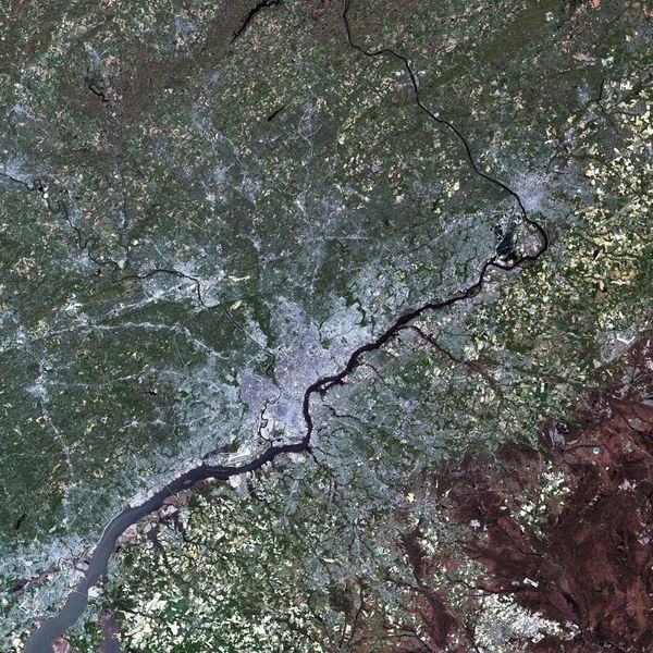
| વર્ણન | Large LANDSAT of Philadelphia, Pennsylvania, USA |
| તારીખ | |
| સ્રોત | USGS Landsat Project |
| લેખક | NASA |
This work is in the public domain in the United States because it is a work prepared by an officer or employee of the United States Government as part of that person’s official duties under the terms of Title 17, Chapter 1, Section 105 of the US Code.
Note: This only applies to original works of the Federal Government and not to the work of any individual U.S. state, territory, commonwealth, county, municipality, or any other subdivision. This template also does not apply to postage stamp designs published by the United States Postal Service since 1978. (See § 313.6(C)(1) of Compendium of U.S. Copyright Office Practices). It also does not apply to certain US coins; see The US Mint Terms of Use.
|
 | |
| પ્રકાશન કાયદા હેઠળ અને તેને મળતા આવતાં આ ફાઈલ ને મુક્ત ગણાઈ છે | ||
ફાઇલનો ઇતિહાસ
તારીખ/સમય ઉપર ક્લિક કરવાથી તે સમયે ફાઇલ કેવી હતી તે જોવા મળશે.
| તારીખ/સમય | લઘુચિત્ર | પરિમાણો | સભ્ય | ટિપ્પણી | |
|---|---|---|---|---|---|
| વર્તમાન | ૦૩:૧૫, ૬ નવેમ્બર ૨૦૦૫ | | ૧,૦૦૦ × ૧,૦૦૦ (૩૧૯ KB) | Otto Normalverbraucher | from english wikipedia first publisher: en:User:Janusz_J |
ફાઇલનો વપરાશ
આ ફાઇલ માં નીચેનું પાનું વપરાયેલું છે:
ફાઇલનો વ્યાપક ઉપયોગ
નીચેની બીજી વિકિઓ આ ફાઈલ વાપરે છે:
- es.wikipedia.org પર વપરાશ
- is.wikipedia.org પર વપરાશ
- pam.wikipedia.org પર વપરાશ
- pl.wikipedia.org પર વપરાશ