
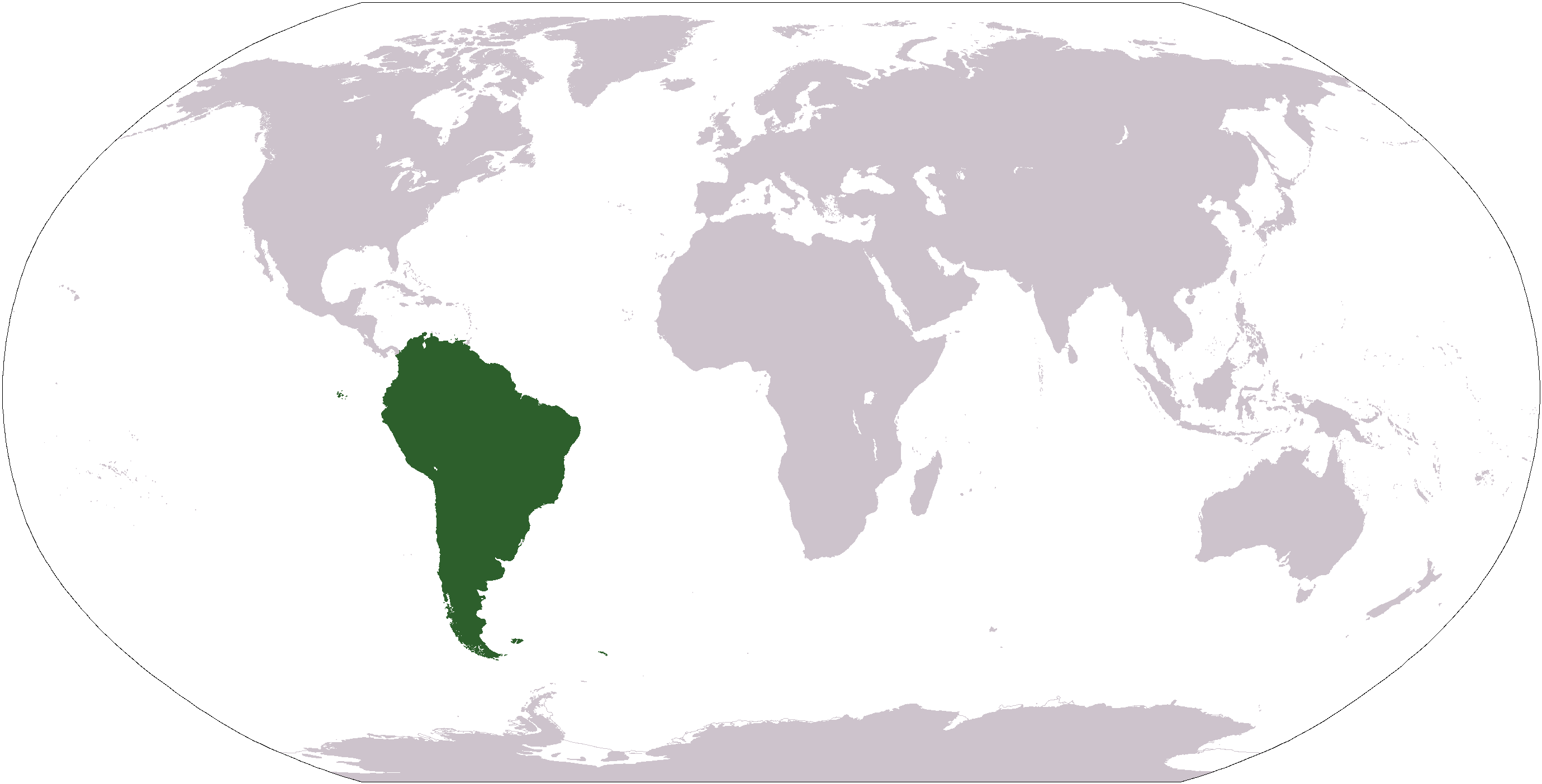
ચિત્ર:LocationSouthAmerica.png
આ પૂર્વાવલોકનનું કદ: ૮૦૦ × ૪૦૭ પિક્સેલ. અન્ય આવર્તનો: ૩૨૦ × ૧૬૩ પિક્સેલ | ૬૪૦ × ૩૨૬ પિક્સેલ | ૧,૦૨૪ × ૫૨૧ પિક્સેલ | ૧,૨૮૦ × ૬૫૧ પિક્સેલ | ૨,૭૫૯ × ૧,૪૦૪ પિક્સેલ.
મૂળભુત ફાઇલ (૨,૭૫૯ × ૧,૪૦૪ પીક્સલ, ફાઇલનું કદ: ૧૦૧ KB, MIME પ્રકાર: image/png)

|
File:Location of South America.svg is a vector version of this file. It should be used in place of this PNG file when not inferior.
File:LocationSouthAmerica.png → File:Location of South America.svg
For more information, see Help:SVG. |
 |
| વર્ણન |
Deutsch: Weltkarte mit Fokus auf Südamerika
English: World map depicting South America
Esperanto: Mondmapo bildiganta Sudamerikon
Español: Ubicación de América del Sur |
| તારીખ | (UTC) |
| સ્રોત | map adapted from PDF world map at CIA World Fact Book |
| લેખક | Central Intelligence Agency, Maximaximax, Ghalas, Huhsunqu, E Pluribus Anthony, Cogito ergo sumo, and Snoopen82 (via Image:LocationSouthAmerica2.png per this request) |
| અન્ય આવૃત્તિઓ |
Derivative works of this file: Wikinews Ameryka Południowa.png Formerly Image:LocationSouthAmerica2.png. |
This image is in the public domain because it contains materials that originally came from the United States Central Intelligence Agency's World Factbook.
|
 |
ફાઇલનો ઇતિહાસ
તારીખ/સમય ઉપર ક્લિક કરવાથી તે સમયે ફાઇલ કેવી હતી તે જોવા મળશે.
| તારીખ/સમય | લઘુચિત્ર | પરિમાણો | સભ્ય | ટિપ્પણી | |
|---|---|---|---|---|---|
| વર્તમાન | ૧૮:૦૯, ૧૯ જાન્યુઆરી ૨૦૦૮ | | ૨,૭૫૯ × ૧,૪૦૪ (૧૦૧ KB) | F l a n k e r | Transparency |
| ૨૩:૩૩, ૧૬ ઓગસ્ટ ૨૦૦૭ |  | ૨,૭૫૯ × ૧,૪૦૪ (૪૬ KB) | Jeff G. | Updated version without Panama per Commons:Administrators' noticeboard/Attention#Move_image_request_Image:LocationSouthAmerica2.png_to_Image:LocationSouthAmerica.png_.28user_account_too_new.29 | |
| ૧૦:૨૦, ૧૦ સપ્ટેમ્બર ૨૦૦૬ |  | ૨,૭૫૯ × ૧,૪૦૪ (૫૫ KB) | Cogito ergo sumo~commonswiki | World map: South America (location) | |
| ૧૦:૧૮, ૨૨ જાન્યુઆરી ૨૦૦૬ |  | ૨,૭૫૯ × ૧,૪૦૪ (૫૫ KB) | E Pluribus Anthony~commonswiki | World map: South America (location) | |
| ૦૪:૦૪, ૧૬ જાન્યુઆરી ૨૦૦૬ |  | ૧,૩૮૧ × ૭૦૩ (૪૮ KB) | Huhsunqu | ||
| ૧૮:૦૩, ૨૯ એપ્રિલ ૨૦૦૫ |  | ૧,૩૮૧ × ૭૦૩ (૧૬ KB) | Ghalas | Half the size {{PD-USGov-CIA-WF}} | |
| ૧૪:૦૨, ૨૮ એપ્રિલ ૨૦૦૫ |  | ૨,૭૫૯ × ૧,૪૦૪ (૩૯ KB) | Ghalas | Extracted from CIA World Factbook PDF world map, then rasterized and colored. {{PD}} | |
| ૧૧:૦૩, ૨૯ ડિસેમ્બર ૨૦૦૪ |  | ૨૫૦ × ૧૧૬ (૧૧ KB) | Maximaximax | Location of South America (from en:) {{GFDL}} |
ફાઇલનો વપરાશ
આ ફાઇલ માં 2 નીચેનાં પાનાઓ વપરાયેલાં છે:
ફાઇલનો વ્યાપક ઉપયોગ
નીચેની બીજી વિકિઓ આ ફાઈલ વાપરે છે:
- ace.wikipedia.org પર વપરાશ
- af.wikipedia.org પર વપરાશ
- als.wikipedia.org પર વપરાશ
- am.wikipedia.org પર વપરાશ
- ang.wikipedia.org પર વપરાશ
- ar.wikipedia.org પર વપરાશ
- ar.wikinews.org પર વપરાશ
- arz.wikipedia.org પર વપરાશ
- as.wikipedia.org પર વપરાશ
- azb.wikipedia.org પર વપરાશ
- az.wikipedia.org પર વપરાશ
- bat-smg.wikipedia.org પર વપરાશ
આ ફાઇલના વધુ વૈશ્વિક વપરાશ જુઓ.