
ચિત્ર:Meghalaya locator map.svg

Size of this PNG preview of this SVG file: ૭૩૪ × ૬૦૦ પિક્સેલ. અન્ય આવર્તનો: ૨૯૪ × ૨૪૦ પિક્સેલ | ૫૮૭ × ૪૮૦ પિક્સેલ | ૯૪૦ × ૭૬૮ પિક્સેલ | ૧,૨૫૩ × ૧,૦૨૪ પિક્સેલ | ૨,૫૦૬ × ૨,૦૪૮ પિક્સેલ | ૨,૩૯૩ × ૧,૯૫૬ પિક્સેલ.
મૂળભુત ફાઇલ (SVG ફાઇલ, માત્ર ૨,૩૯૩ × ૧,૯૫૬ પીક્સલ, ફાઇલનું કદ: ૨૬૦ KB)
| શીર્ષક |
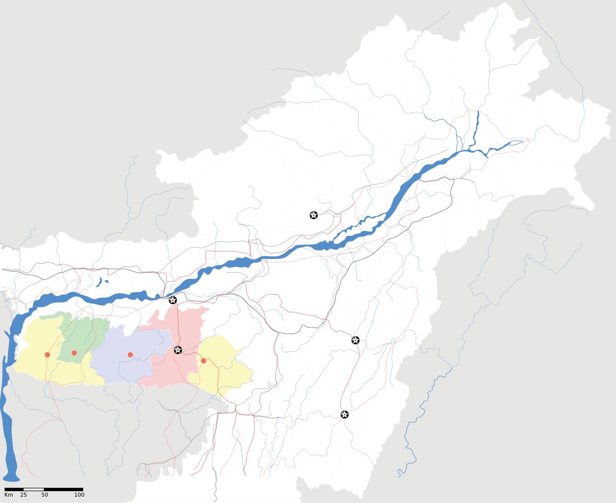
Meghalaya locator Map |
| Description |
Map of w:Meghalaya with road and rail lines. Equirectangular projection. Geographic limits of the map: top=29.49, bottom=23.74, left=89.61, right=97.52. |
| તારીખ | |
| સ્રોત |
પોતાની રચના |
| રચયિતા | |
| પરવાનગી (આ ફાઈલનો ફરી ઉપયોગ) |
હું, આ કાર્યનો પ્રકાશનાધિકાર ધારક, તેને નીચેના પરવાના હેઠળ અહીં પ્રકાશીત કરૂં છું: આ ફાઈલ વપરાશની પરવાનગી : Creative Commons Attribution-Share Alike 3.0 Unported license.
|
| Geotemporal data | |
| Date depicted | second half of 20 century અને 21 century |
| Georeferencing | If inappropriate please set warp_status = skip to hide. |
| Archival data | |
| નોંધ | Part of WikiProject India Maps |
ફાઇલનો ઇતિહાસ
તારીખ/સમય ઉપર ક્લિક કરવાથી તે સમયે ફાઇલ કેવી હતી તે જોવા મળશે.
| તારીખ/સમય | લઘુચિત્ર | પરિમાણો | સભ્ય | ટિપ્પણી | |
|---|---|---|---|---|---|
| વર્તમાન | ૦૦:૨૬, ૧૭ એપ્રિલ ૨૦૦૭ | | ૨,૩૯૩ × ૧,૯૫૬ (૨૬૦ KB) | Planemad | {{WikiProject_India_Maps |Title=Meghalaya locator Map |Description=Map of w:Meghalaya with road and rail lines |Source= [http://www.iitg.ernet.in/rcilts/assam_political.jpg IIT Guwahati - Assam Political map] |Date=April 2007 |Author=[[w:user:Planemad |
ફાઇલનો વપરાશ
આ ફાઇલ માં નીચેનું પાનું વપરાયેલું છે:
ફાઇલનો વ્યાપક ઉપયોગ
નીચેની બીજી વિકિઓ આ ફાઈલ વાપરે છે:
- ar.wikipedia.org પર વપરાશ
- ast.wikipedia.org પર વપરાશ
- as.wikipedia.org પર વપરાશ
- ba.wikipedia.org પર વપરાશ
- bn.wikipedia.org પર વપરાશ
- bs.wikipedia.org પર વપરાશ
- ceb.wikipedia.org પર વપરાશ
- de.wikipedia.org પર વપરાશ
- es.wikipedia.org પર વપરાશ
- fa.wikipedia.org પર વપરાશ
- hif.wikipedia.org પર વપરાશ
- hi.wikipedia.org પર વપરાશ
- hr.wikipedia.org પર વપરાશ
- id.wikipedia.org પર વપરાશ
- ja.wikipedia.org પર વપરાશ
- kbd.wikipedia.org પર વપરાશ
- ml.wikipedia.org પર વપરાશ
- ms.wikipedia.org પર વપરાશ
- new.wikipedia.org પર વપરાશ
- nl.wikipedia.org પર વપરાશ
- or.wikipedia.org પર વપરાશ
- pam.wikipedia.org પર વપરાશ
આ ફાઇલના વધુ વૈશ્વિક વપરાશ જુઓ.