
ચિત્ર:AMS-Kodaikanal.jpg

આ પૂર્વાવલોકનનું કદ: ૮૦૦ × ૫૬૫ પિક્સેલ. અન્ય આવર્તનો: ૩૨૦ × ૨૨૬ પિક્સેલ | ૬૪૦ × ૪૫૨ પિક્સેલ | ૧,૦૨૪ × ૭૨૩ પિક્સેલ | ૧,૨૮૦ × ૯૦૪ પિક્સેલ | ૧,૬૦૦ × ૧,૧૩૦ પિક્સેલ.
મૂળભુત ફાઇલ (૧,૬૦૦ × ૧,૧૩૦ પીક્સલ, ફાઇલનું કદ: ૧.૨ MB, MIME પ્રકાર: image/jpeg)
સારાંશ:
| વર્ણન |
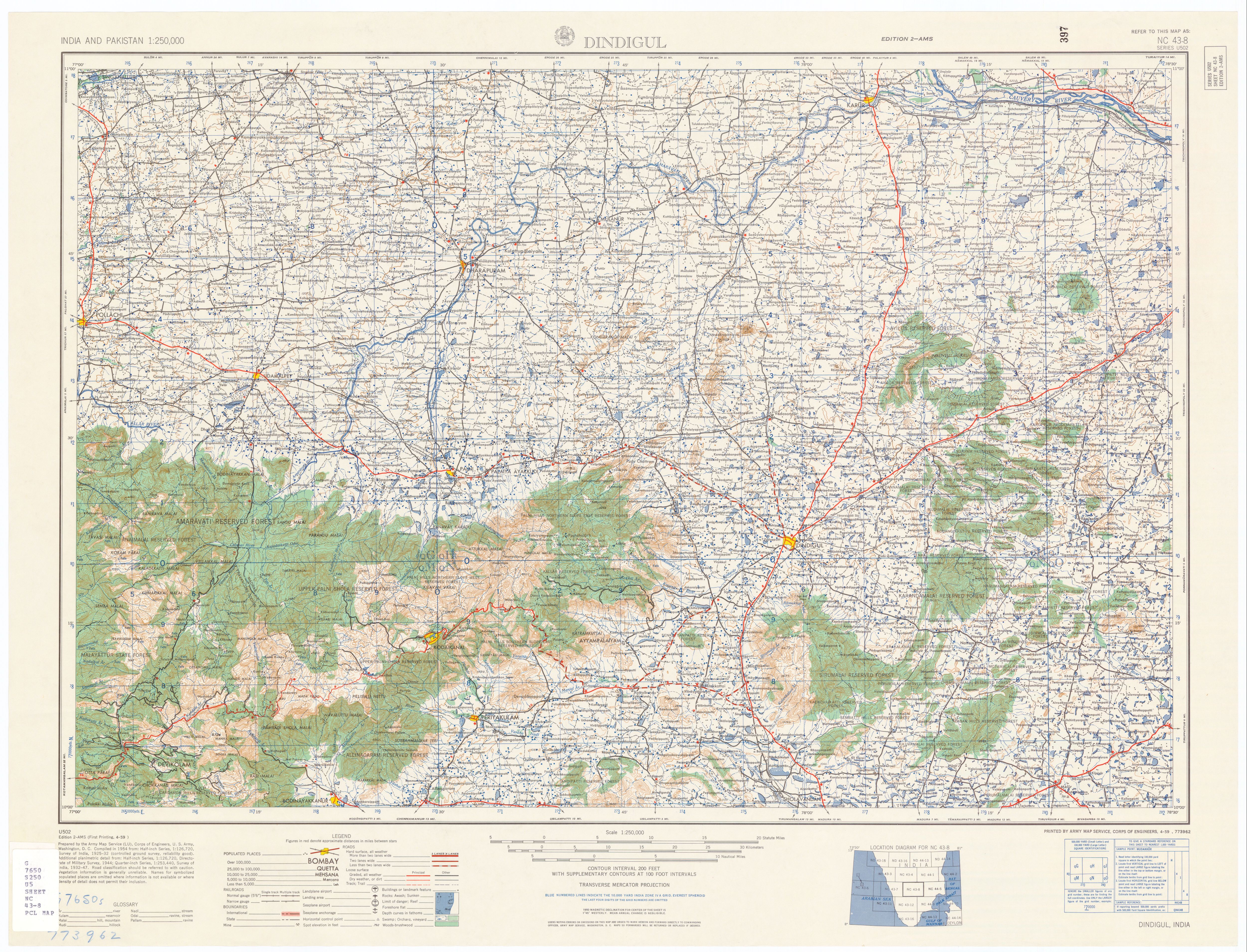
English: Kodaikanal topo map |
| તારીખ | |
| સ્રોત | U.S. Army Topographic Command |
| લેખક | U.S. Army Map Service |
| પરવાનગી (આ ફાઈલનો ફરી ઉપયોગ) |
Public domain |
| અન્ય આવૃત્તિઓ | http://www.lib.utexas.edu/maps/ams/india/nc-43-08.jpg , http://www.lib.utexas.edu/maps/ams/india/ |
પરવાના
This file is a work of a U.S. Army soldier or employee, taken or made as part of that person's official duties. As a work of the U.S. federal government, it is in the public domain in the United States.
|
 |
ફાઇલનો ઇતિહાસ
તારીખ/સમય ઉપર ક્લિક કરવાથી તે સમયે ફાઇલ કેવી હતી તે જોવા મળશે.
| તારીખ/સમય | લઘુચિત્ર | પરિમાણો | સભ્ય | ટિપ્પણી | |
|---|---|---|---|---|---|
| વર્તમાન | ૧૦:૩૩, ૨૫ ઓક્ટોબર ૨૦૦૮ | | ૧,૬૦૦ × ૧,૧૩૦ (૧.૨ MB) | Marcus334 | {{Information |Description={{en|1=Kodaikanal topo map}} |Source=U.S. Army Topographic Command |Author=U.S. Army Map Service |Date=1955 |Permission=Public domain |other_versions=http://www.lib.utexas.edu/maps/ams/india/nc-43-08.jpg , http://www.lib.utexas. |
ફાઇલનો વપરાશ
આ ફાઇલ માં નીચેનું પાનું વપરાયેલું છે:
ફાઇલનો વ્યાપક ઉપયોગ
નીચેની બીજી વિકિઓ આ ફાઈલ વાપરે છે:
- en.wikipedia.org પર વપરાશ
- kn.wikipedia.org પર વપરાશ
- no.wikipedia.org પર વપરાશ