
ચિત્ર:EU location POL.png

આ પૂર્વાવલોકનનું કદ: ૮૦૦ × ૬૦૦ પિક્સેલ. અન્ય આવર્તનો: ૩૨૦ × ૨૪૦ પિક્સેલ | ૬૪૦ × ૪૮૦ પિક્સેલ | ૧,૦૨૪ × ૭૬૮ પિક્સેલ | ૧,૨૮૦ × ૯૬૦ પિક્સેલ | ૧,૬૦૦ × ૧,૨૦૦ પિક્સેલ.
મૂળભુત ફાઇલ (૧,૬૦૦ × ૧,૨૦૦ પીક્સલ, ફાઇલનું કદ: ૪૭૦ KB, MIME પ્રકાર: image/png)

|
This locator map image could be re-created using vector graphics as an SVG file. This has several advantages; see Commons:Media for cleanup for more information. If an SVG form of this image is available, please upload it and afterwards replace this template with
{{vector version available|new image name}}.
It is recommended to name the SVG file “EU location POL.svg”—then the template Vector version available (or Vva) does not need the new image name parameter. |
| વર્ણન | |
| તારીખ | |
| સ્રોત | પોતાની રચના |
| લેખક | David Liuzzo |
| પરવાનગી (આ ફાઈલનો ફરી ઉપયોગ) |
This file is licensed under the Creative Commons Attribution-Share Alike 4.0 International license. આરોપણ: David Liuzzo
|
poland
ફાઇલનો ઇતિહાસ
તારીખ/સમય ઉપર ક્લિક કરવાથી તે સમયે ફાઇલ કેવી હતી તે જોવા મળશે.
| તારીખ/સમય | લઘુચિત્ર | પરિમાણો | સભ્ય | ટિપ્પણી | |
|---|---|---|---|---|---|
| વર્તમાન | ૦૬:૧૩, ૮ મે ૨૦૦૭ | | ૧,૬૦૦ × ૧,૨૦૦ (૪૭૦ KB) | Tene~commonswiki | Optimised further using DeflOpt |
| ૦૦:૫૯, ૨૪ ફેબ્રુઆરી ૨૦૦૭ |  | ૧,૬૦૦ × ૧,૨૦૦ (૫૨૮ KB) | Tene~commonswiki | Optimised (0) | |
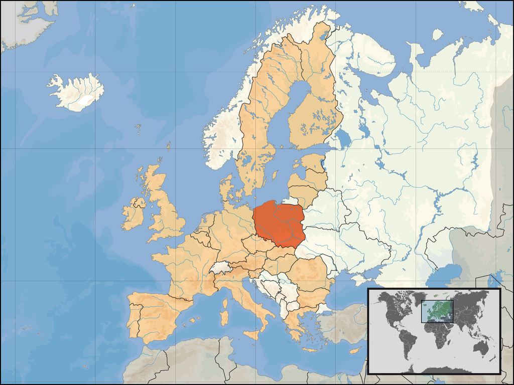
| ૦૮:૨૬, ૧ જાન્યુઆરી ૨૦૦૭ |  | ૧,૬૦૦ × ૧,૨૦૦ (૭૧૧ KB) | David Liuzzo | {{Information| |Description= {{de|Lage der Republik Polen in Europa und in der Europäischen Union am 1. Januar 2007 }} {{en|Location of Poland within Europe and the [[European Union |
ફાઇલનો વપરાશ
આ ફાઇલને કોઇ પાનાં વાપરતા નથી.
ફાઇલનો વ્યાપક ઉપયોગ
નીચેની બીજી વિકિઓ આ ફાઈલ વાપરે છે:
- az.wiktionary.org પર વપરાશ
- bg.wikipedia.org પર વપરાશ
- crh.wikipedia.org પર વપરાશ
- cs.wikibooks.org પર વપરાશ
- de.wiktionary.org પર વપરાશ
- en.wikipedia.org પર વપરાશ
- et.wikiquote.org પર વપરાશ
- fur.wikipedia.org પર વપરાશ
- hi.wikipedia.org પર વપરાશ
- hu.wikiquote.org પર વપરાશ
- it.wiktionary.org પર વપરાશ
- jam.wikipedia.org પર વપરાશ
- jv.wikipedia.org પર વપરાશ
- kg.wikipedia.org પર વપરાશ
- kn.wikipedia.org પર વપરાશ
- lad.wikipedia.org પર વપરાશ
- ltg.wikipedia.org પર વપરાશ
- mg.wikipedia.org પર વપરાશ
- mhr.wikipedia.org પર વપરાશ
- mrj.wikipedia.org પર વપરાશ
- pdc.wikipedia.org પર વપરાશ
- pl.wikiquote.org પર વપરાશ
- pl.wiktionary.org પર વપરાશ
- ro.wikipedia.org પર વપરાશ
- ro.wikibooks.org પર વપરાશ
- ru.wikipedia.org પર વપરાશ
- ru.wiktionary.org પર વપરાશ
- rw.wikipedia.org પર વપરાશ
- scn.wikipedia.org પર વપરાશ
- sr.wikipedia.org પર વપરાશ
- stq.wikipedia.org પર વપરાશ
- ta.wikinews.org પર વપરાશ
- tpi.wikipedia.org પર વપરાશ
- uk.wikipedia.org પર વપરાશ