
ચિત્ર:MaharashtraNandurbar.png
આ પૂર્વાવલોકનનું કદ: ૭૭૮ × ૬૦૦ પિક્સેલ. અન્ય આવર્તનો: ૩૧૨ × ૨૪૦ પિક્સેલ | ૬૨૩ × ૪૮૦ પિક્સેલ | ૯૯૭ × ૭૬૮ પિક્સેલ | ૧,૨૮૦ × ૯૮૭ પિક્સેલ | ૨,૧૬૮ × ૧,૬૭૧ પિક્સેલ.
મૂળભુત ફાઇલ (૨,૧૬૮ × ૧,૬૭૧ પીક્સલ, ફાઇલનું કદ: ૪૨૭ KB, MIME પ્રકાર: image/png)
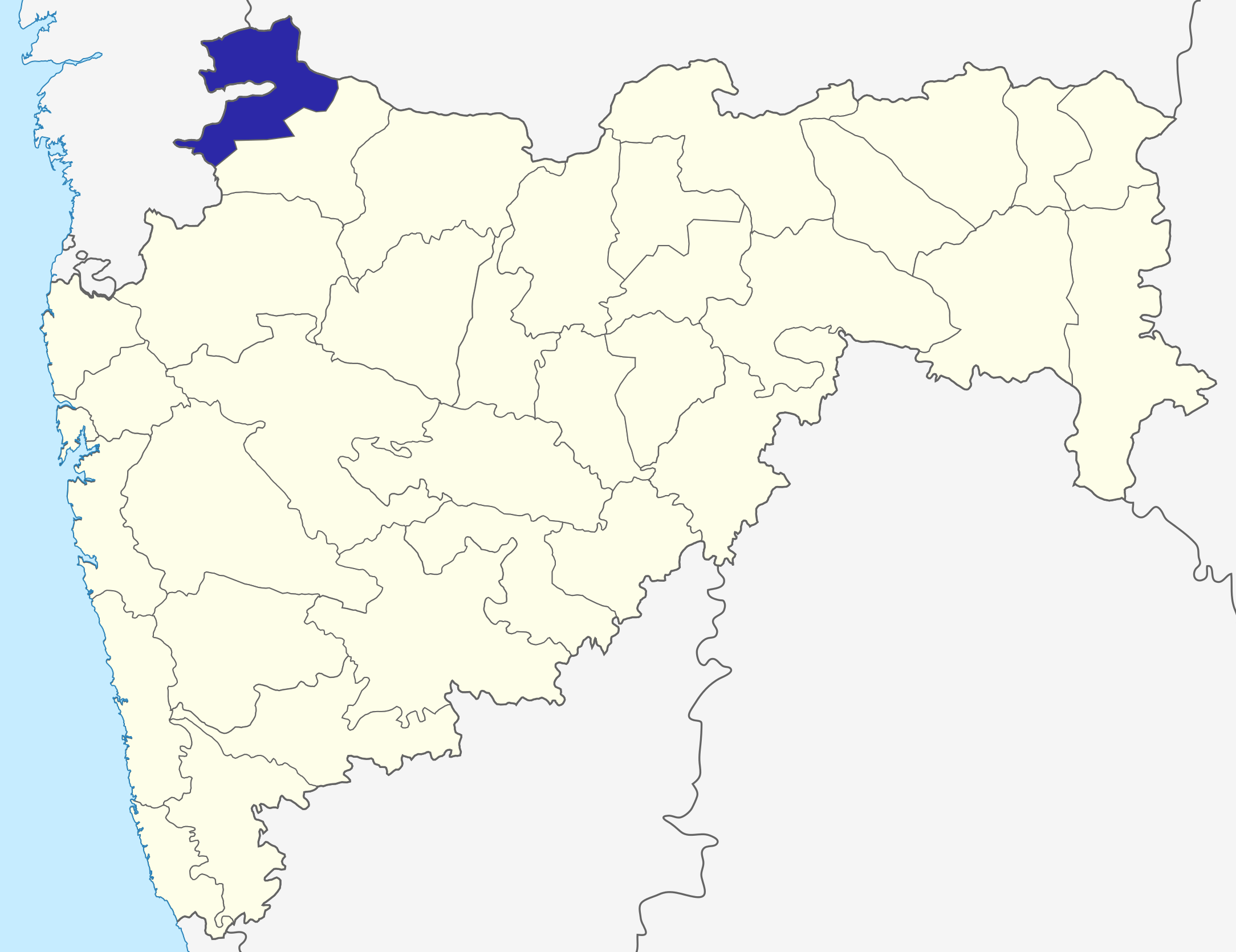
| વર્ણન | Nandurbar district in Maharashtra |
| તારીખ | (UTC) |
| સ્રોત | |
| લેખક |
|
| This is a retouched picture, which means that it has been digitally altered from its original version. The original can be viewed here: Maharashtra locator map.svg:
|
હું, આ કાર્યનો પ્રકાશનાધિકાર ધારક, તેને નીચેના પરવાના હેઠળ અહીં પ્રકાશીત કરૂં છું:
આ ફાઈલ વપરાશની પરવાનગી : Creative Commons Attribution-Share Alike 3.0 Unported license.
- તમે મુક્ત છો:
- વહેંચવા – નકલ કરવા, વિતરણ કરવા અને રચનાઓ મોકલવા
- રીમિક્સ કરવા કે મઠારવા – રચના અપનાવવા
- નીચેની શરત હેઠળ:
- આરોપણ – તમારે આ રચનાનો ઉપયોગ કરવા માટે લેખક કે પ્રકાશન અધિકાર ધારકની યોગ્ય માહિતી, પરવાનગી (લાયસન્સ)ની કડી અને તેમાં ફેરફાર કર્યો હોય તો તેનો ઉલ્લેખ કરવો જ પડશે. તમે આ સત્તા અનુસાર જ આ રચનાનો પ્રયોગ થવો જોઈએ, પણ તેઓ તમને અથવા તમારા ઉપયોગ સાથે સંમત થાય છે તે રીતે નહીં.
- શેર- અલાઈક (બિન ભેદભાવ વહેંચણી) – તમે જો આ રચનાને બદલશો, તેમાં ફેરફાર કરશો અથવા તેના પર આધારિત કોઇ કાર્ય બનાવશો તો તમારે પરિણામી કાર્યને તે જ અથવા અનુરૂપ પરવાનગી હેઠળ જ પ્રકાશિત કરવું પડશે.
અસલ - મૂળ અપલોડનો લોગ
This image is a derivative work of the following images:
- File:Maharashtra_locator_map.svg licensed with Cc-by-sa-3.0
- 2008-12-21T12:11:22Z PlaneMad 2789x2232 (365545 Bytes) {{Information |Description= |Source= |Date= |Author= |Permission= |other_versions= }}
- 2008-12-21T12:08:04Z PlaneMad 2789x2232 (365091 Bytes) {{Information |Description={{en|1=map}} |Source=Own work by uploader |Author=[[User:PlaneMad|PlaneMad]] |Date= |Permission= |other_versions= }}
Uploaded with derivativeFX
ફાઇલનો ઇતિહાસ
તારીખ/સમય ઉપર ક્લિક કરવાથી તે સમયે ફાઇલ કેવી હતી તે જોવા મળશે.
| તારીખ/સમય | લઘુચિત્ર | પરિમાણો | સભ્ય | ટિપ્પણી | |
|---|---|---|---|---|---|
| વર્તમાન | ૧૨:૨૩, ૬ ઓક્ટોબર ૨૦૧૫ | | ૨,૧૬૮ × ૧,૬૭૧ (૪૨૭ KB) | Abhijitsathe | State map updated to reflect new Palghar district |
| ૦૫:૫૩, ૨૨ સપ્ટેમ્બર ૨૦૦૯ |  | ૨,૭૮૯ × ૨,૨૩૨ (૯૫૬ KB) | Abhijitsathe | India map inset | |
| ૨૧:૫૫, ૧૦ એપ્રિલ ૨૦૦૯ |  | ૨,૭૮૯ × ૨,૨૩૨ (૭૯૫ KB) | Abhijitsathe | {{Information |Description=Nandurbar district in Maharashtra |Source=*File:Maharashtra_locator_map.svg |Date=2009-04-10 17:24 (UTC) |Author=*File:Maharashtra_locator_map.svg: '''PlaneMad''' *derivative work: ~~~ |Permission=see below |other_ve |
ફાઇલનો વપરાશ
આ ફાઇલને કોઇ પાનાં વાપરતા નથી.