
ચિત્ર:Map of Italy blank.svg

Size of this PNG preview of this SVG file: ૪૮૦ × ૬૦૦ પિક્સેલ. અન્ય આવર્તનો: ૧૯૨ × ૨૪૦ પિક્સેલ | ૩૮૪ × ૪૮૦ પિક્સેલ | ૬૧૪ × ૭૬૮ પિક્સેલ | ૮૧૯ × ૧,૦૨૪ પિક્સેલ | ૧,૬૩૮ × ૨,૦૪૮ પિક્સેલ | ૧,૨૦૦ × ૧,૫૦૦ પિક્સેલ.
મૂળભુત ફાઇલ (SVG ફાઇલ, માત્ર ૧,૨૦૦ × ૧,૫૦૦ પીક્સલ, ફાઇલનું કદ: ૮૨૨ KB)
સારાંશ:
| વર્ણન |
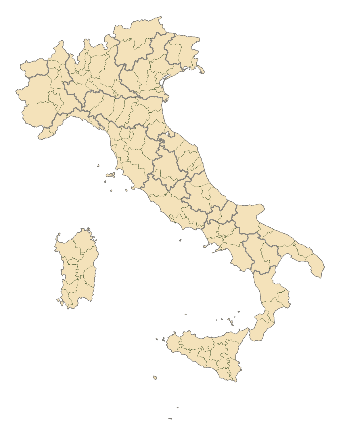
English: Blank map of Italy, divided in provinces. It can be easily divided even in regions. Situation before 2009. |
||
| તારીખ | |||
| સ્રોત | પોતાની રચના | ||
| લેખક | F l a n k e r | ||
| પરવાનગી (આ ફાઈલનો ફરી ઉપયોગ) |
|
||
| અન્ય આવૃત્તિઓ |
Derivative works of this file: |
.svg)
.svg)
.svg)
.svg)
.svg)
.svg)
ફાઇલનો ઇતિહાસ
તારીખ/સમય ઉપર ક્લિક કરવાથી તે સમયે ફાઇલ કેવી હતી તે જોવા મળશે.
| તારીખ/સમય | લઘુચિત્ર | પરિમાણો | સભ્ય | ટિપ્પણી | |
|---|---|---|---|---|---|
| વર્તમાન | ૦૧:૧૨, ૩ ઓગસ્ટ ૨૦૧૫ | | ૧,૨૦૦ × ૧,૫૦૦ (૮૨૨ KB) | Carnby | IT-TS+IT-88 |
| ૦૪:૨૪, ૧ ઓગસ્ટ ૨૦૧૫ |  | ૧,૨૦૦ × ૧,૫૦૦ (૮૨૩ KB) | Carnby | Rimini | |
| ૦૧:૨૬, ૪ ડિસેમ્બર ૨૦૦૯ |  | ૧,૨૦૦ × ૧,૫૦૦ (૮૨૧ KB) | F l a n k e r | Added provinces of Molise | |
| ૦૫:૪૫, ૩ ડિસેમ્બર ૨૦૦૯ |  | ૧,૨૦૦ × ૧,૫૦૦ (૮૨૦ KB) | Vonvikken | Fixed wrong borders between Abruzzo and Molise | |
| ૧૭:૨૮, ૨૮ માર્ચ ૨૦૦૭ |  | ૧,૨૦૦ × ૧,૫૦૦ (૮૨૮ KB) | F l a n k e r | ||
| ૨૩:૨૬, ૧૨ જાન્યુઆરી ૨૦૦૭ |  | ૧,૨૦૦ × ૧,૫૦૦ (૫૫૨ KB) | F l a n k e r | ||
| ૧૭:૪૦, ૧૯ નવેમ્બર ૨૦૦૬ |  | ૧,૨૦૦ × ૧,૫૦૦ (૫૫૯ KB) | F l a n k e r | {{Information |Description=Blank map of Italy, divided in provinces. It can be easily divided even in regions. |Source= |Date=19 Nov. 2006 |Author=F l a n k e r |Permission= |other_versions= }} |
ફાઇલનો વપરાશ
આ ફાઇલને કોઇ પાનાં વાપરતા નથી.
ફાઇલનો વ્યાપક ઉપયોગ
નીચેની બીજી વિકિઓ આ ફાઈલ વાપરે છે:
- ast.wikipedia.org પર વપરાશ
- ca.wikipedia.org પર વપરાશ
- gl.wikipedia.org પર વપરાશ
- hy.wikipedia.org પર વપરાશ
- ia.wikipedia.org પર વપરાશ
- it.wikinews.org પર વપરાશ
- ru.wikipedia.org પર વપરાશ
- tg.wikipedia.org પર વપરાશ
- uk.wikipedia.org પર વપરાશ
- www.wikidata.org પર વપરાશ