
ચિત્ર:NL - locator map municipality code GM1581 (2016).png

આ પૂર્વાવલોકનનું કદ: ૮૦૦ × ૫૩૩ પિક્સેલ. અન્ય આવર્તનો: ૩૨૦ × ૨૧૩ પિક્સેલ | ૬૪૦ × ૪૨૭ પિક્સેલ | ૧,૦૨૪ × ૬૮૩ પિક્સેલ | ૧,૨૮૦ × ૮૫૪ પિક્સેલ | ૨,૧૨૫ × ૧,૪૧૭ પિક્સેલ.
મૂળભુત ફાઇલ (૨,૧૨૫ × ૧,૪૧૭ પીક્સલ, ફાઇલનું કદ: ૬૪૦ KB, MIME પ્રકાર: image/png)
સારાંશ:
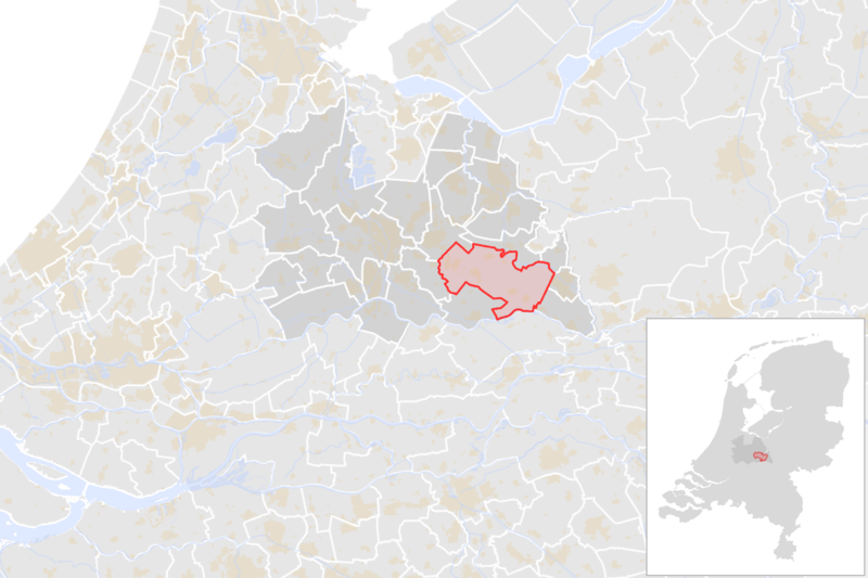
| વર્ણન | Locator map showing municipality boundary of one of the 390 Dutch municipalities (as of 2016) | |||
| તારીખ | ||||
| સ્રોત | own work using free available sources | |||
| લેખક |
Michiel1972 using data from CBS.
|
|||
| પરવાનગી (આ ફાઈલનો ફરી ઉપયોગ) |
Attribution ShareAlike 3.0 |

.png)
પરવાના
આ ફાઈલ વપરાશની પરવાનગી : Creative Commons Attribution-Share Alike 3.0 Unported license.
- તમે મુક્ત છો:
- વહેંચવા – નકલ કરવા, વિતરણ કરવા અને રચનાઓ મોકલવા
- રીમિક્સ કરવા કે મઠારવા – રચના અપનાવવા
- નીચેની શરત હેઠળ:
- આરોપણ – તમારે આ રચનાનો ઉપયોગ કરવા માટે લેખક કે પ્રકાશન અધિકાર ધારકની યોગ્ય માહિતી, પરવાનગી (લાયસન્સ)ની કડી અને તેમાં ફેરફાર કર્યો હોય તો તેનો ઉલ્લેખ કરવો જ પડશે. તમે આ સત્તા અનુસાર જ આ રચનાનો પ્રયોગ થવો જોઈએ, પણ તેઓ તમને અથવા તમારા ઉપયોગ સાથે સંમત થાય છે તે રીતે નહીં.
- શેર- અલાઈક (બિન ભેદભાવ વહેંચણી) – તમે જો આ રચનાને બદલશો, તેમાં ફેરફાર કરશો અથવા તેના પર આધારિત કોઇ કાર્ય બનાવશો તો તમારે પરિણામી કાર્યને તે જ અથવા અનુરૂપ પરવાનગી હેઠળ જ પ્રકાશિત કરવું પડશે.
ફાઇલનો ઇતિહાસ
તારીખ/સમય ઉપર ક્લિક કરવાથી તે સમયે ફાઇલ કેવી હતી તે જોવા મળશે.
| તારીખ/સમય | લઘુચિત્ર | પરિમાણો | સભ્ય | ટિપ્પણી | |
|---|---|---|---|---|---|
| વર્તમાન | ૦૨:૧૬, ૧ માર્ચ ૨૦૧૬ | | ૨,૧૨૫ × ૧,૪૧૭ (૬૪૦ KB) | Michiel1972 |
ફાઇલનો વપરાશ
આ ફાઇલને કોઇ પાનાં વાપરતા નથી.
ફાઇલનો વ્યાપક ઉપયોગ
નીચેની બીજી વિકિઓ આ ફાઈલ વાપરે છે:
- af.wikipedia.org પર વપરાશ
- ar.wikipedia.org પર વપરાશ
- ca.wikipedia.org પર વપરાશ
- ceb.wikipedia.org પર વપરાશ
- es.wikipedia.org પર વપરાશ
- eu.wikipedia.org પર વપરાશ
- fy.wikipedia.org પર વપરાશ
- li.wikipedia.org પર વપરાશ
- nl.wikipedia.org પર વપરાશ
- ru.wikipedia.org પર વપરાશ
- uk.wikipedia.org પર વપરાશ
- vo.wikipedia.org પર વપરાશ
- www.wikidata.org પર વપરાશ
- zea.wikipedia.org પર વપરાશ
.png)