
ચિત્ર:Sagarmatha districts.png

આ પૂર્વાવલોકનનું કદ: ૭૭૬ × ૬૦૦ પિક્સેલ. અન્ય આવર્તનો: ૩૧૧ × ૨૪૦ પિક્સેલ | ૬૨૧ × ૪૮૦ પિક્સેલ | ૯૯૪ × ૭૬૮ પિક્સેલ | ૧,૦૫૬ × ૮૧૬ પિક્સેલ.
મૂળભુત ફાઇલ (૧,૦૫૬ × ૮૧૬ પીક્સલ, ફાઇલનું કદ: ૩૧ KB, MIME પ્રકાર: image/png)
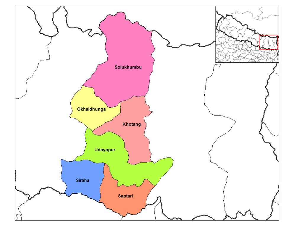
| વર્ણન | Map of the districts of Sagarmatha Zone (wp-EN) in Nepal. Created by Rarelibra 19:35, 18 September 2006 (UTC) for public domain use, using MapInfo Professional v8.5 and various mapping resources. | ||
| તારીખ | ૧૮ સપ્ટેમ્બર ૨૦૦૬ (original upload date) | ||
| સ્રોત | Transferred from en.wikipedia to Commons. | ||
| લેખક | The original uploader was Rarelibra at અંગ્રેજી વિકિપીડિયા. | ||
| પરવાનગી (આ ફાઈલનો ફરી ઉપયોગ) |
|
અસલ - મૂળ અપલોડનો લોગ
The original description page was here. All following user names refer to en.wikipedia.
- 2006-09-18 19:35 Rarelibra 1056×816×8 (31252 bytes) Map of the districts of Sagarmatha zone in Nepal. Created by ~~~~ for public domain use, using MapInfo Professional v8.5 and various mapping resources.
ફાઇલનો ઇતિહાસ
તારીખ/સમય ઉપર ક્લિક કરવાથી તે સમયે ફાઇલ કેવી હતી તે જોવા મળશે.
| તારીખ/સમય | લઘુચિત્ર | પરિમાણો | સભ્ય | ટિપ્પણી | |
|---|---|---|---|---|---|
| વર્તમાન | ૨૩:૨૫, ૯ એપ્રિલ ૨૦૦૭ | | ૧,૦૫૬ × ૮૧૬ (૩૧ KB) | Hégésippe Cormier | {{Information |Description=Map of the districts of '''Sagarmatha Zone''' (wp-EN) in Nepal. Created by Rarelibra 19:35, 18 September 2006 (UTC) for public domain use, using MapInfo Professional |
ફાઇલનો વપરાશ
આ ફાઇલ માં નીચેનું પાનું વપરાયેલું છે:
ફાઇલનો વ્યાપક ઉપયોગ
નીચેની બીજી વિકિઓ આ ફાઈલ વાપરે છે:
- ar.wikipedia.org પર વપરાશ
- bg.wikipedia.org પર વપરાશ
- bh.wikipedia.org પર વપરાશ
- bn.wikipedia.org પર વપરાશ
- cs.wikipedia.org પર વપરાશ
- de.wikipedia.org પર વપરાશ
- dty.wikipedia.org પર વપરાશ
- el.wikipedia.org પર વપરાશ
- en.wikipedia.org પર વપરાશ
- es.wikipedia.org પર વપરાશ
- fa.wikipedia.org પર વપરાશ
- fi.wikipedia.org પર વપરાશ
- hif.wikipedia.org પર વપરાશ
- it.wikipedia.org પર વપરાશ
- ja.wikipedia.org પર વપરાશ
- ko.wikipedia.org પર વપરાશ
- mai.wikipedia.org પર વપરાશ
- ne.wikipedia.org પર વપરાશ
- new.wikipedia.org પર વપરાશ
આ ફાઇલના વધુ વૈશ્વિક વપરાશ જુઓ.