

મીટ્ટી બંધ
મીટ્ટી બંધ એ કોંક્રિટ અને માટી વડે બનેલો મીટ્ટી નદી પર અબડાસા તાલુકા, કચ્છ જિલ્લા, ગુજરાત, ભારતમાં આવેલો બંધ છે. મીટ્ટી નદી મધ્યમ કક્ષાનું વહેણ છે[૧] અને જળાશય માટે ૪૬૮.૭૯ ચોરસ કિલોમીટરનો સ્ત્રાવક્ષેત્ર પૂરો પાડે છે.[૨] આ બંધ ત્રંબૌ ગામ નજીક આવેલો છે અને તેનું બાંધકામ ૧૯૮૩માં પૂર્ણ થયું હતું.[૩] આ બંધ ૪૪૦૫ મીટર લાંબો અને ૧૭.૪૦ મિલિયન ઘન મીટર (MCM) ની કુલ સંગ્રહ ક્ષમતા, ૨.૭૮ MCMની મૃત સંગ્રહ ક્ષમતા અને અને ૧૪.૭૨ MCM જીવંત સંગ્રહ ક્ષમતા ધરાવે છે.
નોંધ
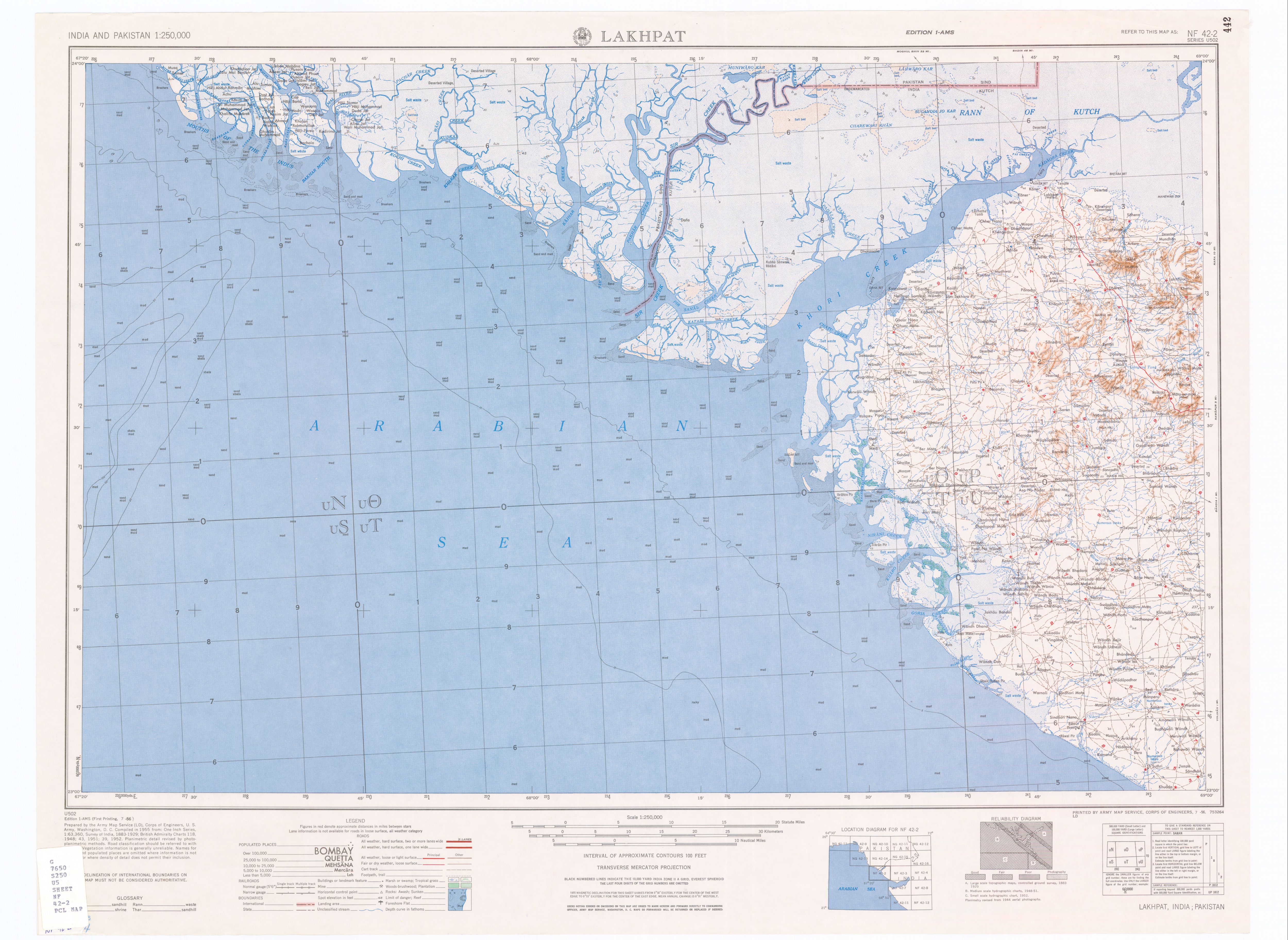
[ફેરફાર કરો]- ↑ (topographic map, scale 1:250,000) Lakhpat, India, Sheet NF 42-2, Series U-502, United States Army Map Service, જુલાઇ ૧૯૫૬, http://www.lib.utexas.edu/maps/ams/india/nf-42-02.jpg
- ↑ Jain, S. Sharad Kumar; Agarwal, Pushpendra K.; Singh, V. Vijay P. (૨૦૦૭). Hydrology and Water Resources of India. Dordrecht, Netherlands: Springer Verlag. પૃષ્ઠ ૭૫૦. ISBN 978-1-4020-5179-1. Unknown parameter
|lastauthoramp=ignored (|name-list-style=suggested) (મદદ) - ↑ "Mitti D02052". India-WRIS (Water Resources Information System of India). મૂળ માંથી ૫ જૂન ૨૦૧૩ પર સંગ્રહિત. Unknown parameter
|dead-url=ignored (|url-status=suggested) (મદદ)